
Helping to save marine wonders
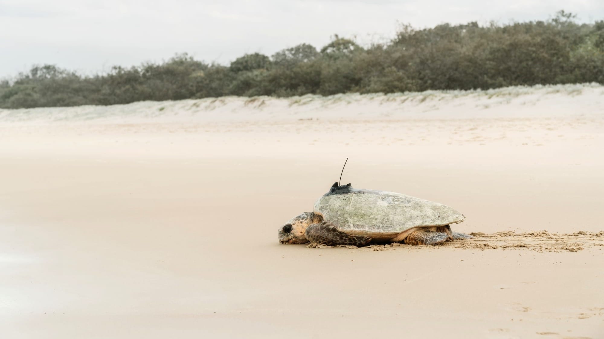
In November, during an evening walk in Wurtulla, a local and her father encountered a critically endangered loggerhead turtle about to lay her eggs. This event led to the turtle, now named Mib’ir—a Kabi Kabi word for “saltwater turtle”—being equipped with a GPS tracking device by TurtleCare Sunshine Coast volunteers. This initiative, part of a collaboration with the Queensland Government, aims to gather data on turtle movements to enhance the understanding and protection of their habitats.
Mib’ir contributed significantly to this project by laying four additional clutches of eggs over the summer, revealing valuable insights into the locations turtles frequent off the coast between nestings. Leisa Baldwin, Sunshine Coast Turtle Education Leader, shared that nesting turtles can lay three to five clutches in a season without eating, staying close to shore in preparation. The GPS tracker revealed Mib’ir’s preference for Currimundi Reef and identified her as a Noosa local, now foraging near Teewah Beach.
This tracking data is crucial for understanding turtle movements within the Blue Biosphere, a marine area extending 5km to sea. It aids in mapping these movements and provides scientific evidence to advocate for the protection of turtle habitats both on land and in the ocean.
A second turtle, Geminid, also received a tracker in December. Named after a meteor shower occurring at the time, Geminid has laid three clutches this season and has begun her northward journey, passing notable locations like the Southern Great Barrier Reef and Lady Musgrave Island, currently near Hyde Rock Reef north of Yepoon.